
Go | New | Find | Notify | Tools | Reply |
| Member |
If so, it's well hidden on their www site. https://login.acg.aaa.com/login.do We're planning a drive to western MD in a couple weeks, we've done it dozens of times: I74 to Indy, then I70 all the way to Hagerstown. My iPhone 14 has a great nav system, but we prefer to use a larger screen GPS that runs off the 12V (cigarette lighter for you old folks). But I still want the highway guidebook and paper maps! I logged on to the main site, but that option is nowhere to be found. Has anyone gotten paper maps lately? | ||
|
| Conservative in Nor Cal constantly swimming up stream  |
Between my car navigation system and Apple Maps I see no need for paper maps. 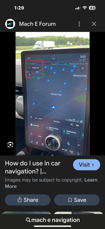 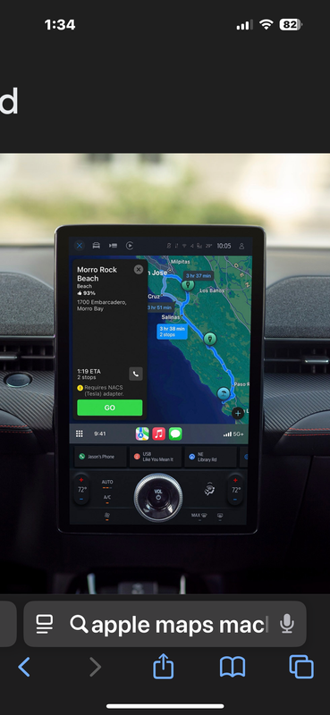 ----------------------------------- Get your guns b4 the Dems take them away Sig P-229 Sig P-220 Combat | |||
|
| Partial dichotomy |
The last time I got maps from AAA was a little over a year ago. SIGforum: For all your needs! Imagine our influence if every gun owner in America was an NRA member! Click the box>>> | |||
|
| Freethinker |
I found this by asking Microsoft Copilot: https://magazine.northeast.aaa...maps-triptiks-still/ Answer is yes they do. If I were a long way from home and something happened to our electronic guardian angels*, paper maps might be extremely useful to have, especially considering the chaos that would result because of everyone else’s dependence on those things. Being able to use alternative routes for whatever reasons is something I find comforting. * Oh, wait. I forgot. That would be impossible, so disregard all that. (And please, don’t anyone tell them I expressed any doubt about their infallibility.) ► 6.0/94.0 “I can’t give you brains, but I can give you a diploma.” — The Wizard of Oz | |||
|
Striker in waiting |
At least if you overshoot H-Town you’ll wind up in Fredneck, which is a decided upgrade. -Rob I predict that there will be many suggestions and statements about the law made here, and some of them will be spectacularly wrong. - jhe888 A=A | |||
|
| No More Mr. Nice Guy |
We use a large atlas. Paper maps of the entire USA. | |||
|
| Dances With Tornados |
Even with GPS and Iphone map software/display, I still like to have a paper map. . | |||
|
His Royal Hiney |
Sigmund Here are the instructions: Log on to AAA.com Click on Travel > Travel Resources > Maps and Tourbooks. Scroll down to the bottom section title Order Printed Maps by Mail. Log in here to order maps. The link should work. "It did not really matter what we expected from life, but rather what life expected from us. We needed to stop asking about the meaning of life, and instead to think of ourselves as those who were being questioned by life – daily and hourly. Our answer must consist not in talk and meditation, but in right action and in right conduct. Life ultimately means taking the responsibility to find the right answer to its problems and to fulfill the tasks which it constantly sets for each individual." Viktor Frankl, Man's Search for Meaning, 1946. | |||
|
| As Extraordinary as Everyone Else  |
This is what we do as well. We have been in areas where gps doesn’t work well. Plus it’s sometimes nice to be able to see the larger picture. ------------------ Eddie Our Founding Fathers were men who understood that the right thing is not necessarily the written thing. -kkina | |||
|
| Member |
It did, thanks!! For Burton RW: Yeah, Hagerstown has some, er...shady areas. We're staying at a hotel next to the mall, that's OK. My Mom and brother live in Keedysville on the edge of the Antietam Battlefield. | |||
|
| Member |
I have navigation in the vehicles and SIRI on the phone but I still like a paper map to look at .It comes in handy for planning routes or looking at your various options . | |||
|
| Optimistic Cynic |
I, for one, still use paper maps. They help give a "big picture" view of an area much better than the navagation apps do. This helps with planning a trip and evaluating alternative routes. I have made a habit of stopping at the first "welcome center" encountered when entering a State. They almost always have a free up-to-date map of the State available for the asking. These maps are generally of higher quality than commercial offerings. | |||
|
| Thank you Very little  |
Good Lord I haven't seen a trip tik in a long time, they were a staple of long distance travelling before GPS and were a really good source of information on the trip, they even marked construction areas, alternative routes etc. And today would be a great backup in case the GPS takes a dive or an EMP... | |||
|
| Ammoholic |
I haven’t used paper maps in a while, but I tend to use the electronic stuff more like I used to use paper maps than some folks do. Ask it for directions, look over the steps, agree “Yeah, that makes sense.”, or decide, “Nope, not going that way, taking this other route.”, then drive. Not a fan of just following the electronics directions as they come up. I always want to know what my next turn is, and roughly how far. | |||
|
Member |
Although we use the mapping system on my phone all the time, we also stop at state welcome centers to get state maps. Having the larger map gives a better overview of where we are in relation to where we want to go. Electronic mapping systems really come in handy trying to find our way in strange towns or avoiding road closures/construction. "Cedat Fortuna Peritis" | |||
|
| Member |
Yep, they were very informative, I especially liked knowing the location of rest stops. The link that Rev HRH provided got me paper maps,I was unable to find trip tiks. | |||
|
| Partial dichotomy |
According to "One Second After", we probably won't be driving if an EMP should happen. SIGforum: For all your needs! Imagine our influence if every gun owner in America was an NRA member! Click the box>>> | |||
|
| Powered by Social Strata |
| Please Wait. Your request is being processed... |
© SIGforum 2026